
Tracing a Weymouth Street Address
The address chain starts with the current parcel, then moves through the assessment card, deed reference, title record, and public local files that are keyed to a street. This order matters. An assessment card can identify an owner and a mailing clue, but the mailing destination may be a separate address for a trustee, estate, company, or owner. A registry result records a transfer or encumbrance, not a statement that a named party remains at the parcel. The street directory is most useful when each source is read for the limited fact it actually records.
- Search the address in Weymouth MapGeo and save the situs address, parcel identifier, owner of record, printable card, tax-map reference, and deed link.
- Pan along the street and open the relevant parcel cards one at a time. Use parcel geometry, not a guessed sequence of numbers, to determine nearby lots.
- Use the owner name or title reference in the Norfolk Registry. Read the current deed, legal description, book and page or document number, then follow the seller as a prior grantee.
- For lawful public election information by street or precinct, request an existing local list from the Weymouth Board of Registrars or Town Clerk rather than using the individual state form as a browse tool.
- Use an existing permit file, a historical house guide, newspaper, or census record only to date the address connection it documents.
Note: The owner shown on a card and the person receiving tax mail can be useful leads, but neither alone proves occupancy.
Weymouth MapGeo Street Walkthrough
Weymouth’s Online Property Viewer introduces MapGeo as the Town’s map and property gateway. The July 2023 update is described as adding improved search, printable record cards and tax maps, zoning, voting and deed links, FEMA flood information, recreation facilities, and community resources. For a named street, zoom and pan until the parcel polygons and street labels are clear. Click a parcel, read the card, and repeat for the specific parcels needed for a property question. This produces a defensible parcel sequence without creating a list of private household members.
The Town’s Online Property Viewer introduction describes the available property and map features.
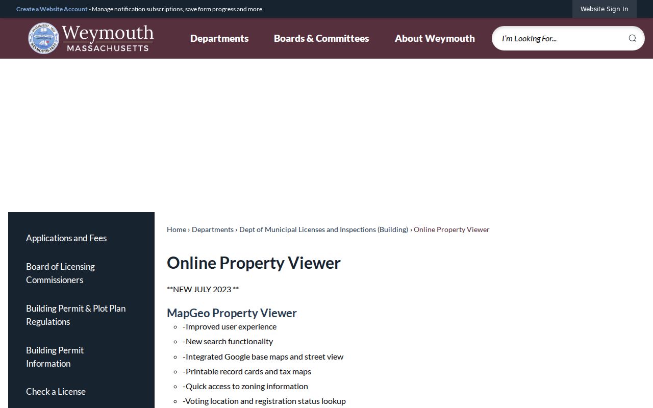
The Town’s overview establishes MapGeo as the appropriate starting point for a Weymouth street directory search tied to a parcel.
The live MapGeo adjacent-parcel view illustrates the map’s inspected 100-foot abutter-distance parameter.
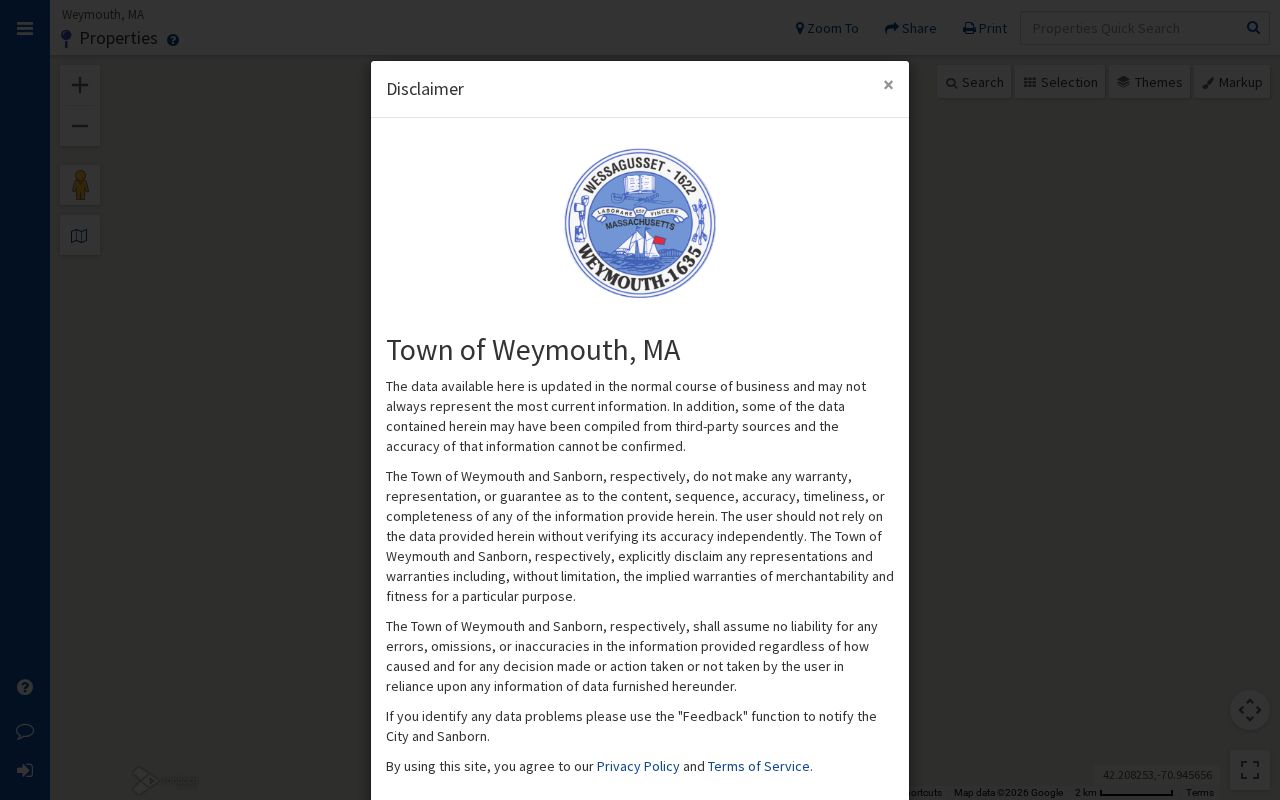
Visually confirm each parcel relation. A road, water edge, common land, condominium parcel, utility parcel, or unbuilt lot can make a nearby polygon different from what a street address suggests.
Weymouth MapGeo Search Fields
MapGeo supports address or street, owner, parcel or property identifier, and map-browse approaches. The live page did not expose every field label in the research text, so the on-screen label should be checked before quoting a card or submitting a request. Printable cards and tax maps preserve the parcel reference. Layer controls add zoning, FEMA flood, recreation, community resources, Google base or street view, voting-location access, and a Norfolk deed link. The publicly documented controls provide a street directory researcher with location and title context, not a named roster for a block.
The live Weymouth MapGeo property search is the official parcel interface for testing an address, owner, or property identifier.
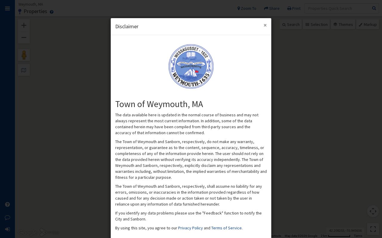
The search screen reinforces the street-directory workflow: identify the parcel first, then use its card and title reference to compare distinct record types.
| MapGeo field or control | Street-directory use | Research limit |
|---|---|---|
| Address or street search | Finds a mapped situs address or street segment. | Partial matching behavior was not published in the text source. |
| Owner name | Supplies the current assessment owner for a title search. | It is not a current-residence confirmation. |
| Parcel or property ID | Connects a card, tax map, and later document request. | Weymouth parcel-number syntax was not verified. |
| Map browse and abutter distance | Shows polygons, nearby parcels, and the street layout. | Geometry still needs visual review. |
| Printable card, tax map, and layers | Preserves assessment, map, zoning, flood, voting, and deed context. | None creates a household list. |
Note: The MapGeo ZIP control was not documented in the available research, so verify any on-screen filter before relying on it.
Weymouth Street Record Coverage
Street-addressed records form a layered chain. MapGeo is the current anchor. Registry research supplies instruments and legal descriptions. The Town Clerk and Board of Registrars keep local voter and street-list material subject to redactions. Building Inspection keeps address files but has no verified public permit-results portal. Libraries and the State Library hold selected historical street and house-guide material. The coverage table separates these sources so the street directory does not blur ownership, registered-voter data, construction records, and historical listings.
| Address record | What it can show | Custodian | Access channel |
|---|---|---|---|
| Assessment or property card | Owner, situs, mailing clue, value, parcel, card, and tax-map context | Weymouth Assessors / MapGeo | Public viewer and printable card |
| Parcel map and layers | Parcel geometry, adjoining lots, zoning, flood, district, and deed links | Weymouth MapGeo | Public map browse |
| Recorded land and plans | Parties, instrument, date, title reference, legal description, and plan link | Norfolk Registry | Free index, counter, and image account |
| Local voter or street list | Existing public voter categories and street-list context | Board of Registrars / Town Clerk | Written local request with redactions |
| Building or inspection file | Work, dates, owner, applicant, contractor, inspections, or certificate details | Weymouth Licenses and Inspections | Existing-file request |
| Historical street guide | Dated address-to-occupant or business entry | State Library / local library | Selected shelf, digitized, or library access |
A parcel identifier ties the assessment card to a map and title search. A street name ties a local voter-list request and an older house guide to the place. Those links still require careful date matching, because a street can change between an old directory, a deed, and a modern assessment card.
Weymouth Deed and Land Chain
Norfolk Registry research starts with recorded land, then adds a separate Land Court search when needed. The Registry’s recorded-land index and images extend from 1793 forward. Its combined grantor and grantee index can be limited by party role, document type, town, date, book and page, and other parameters. Search names as written on the instrument. Begin with a broad surname, add a first name after results appear, and use an asterisk variant when an old spelling or missing initial may hide a result.
The Registry’s Search for Your Deed page is a direct name-and-town route for a deed search.
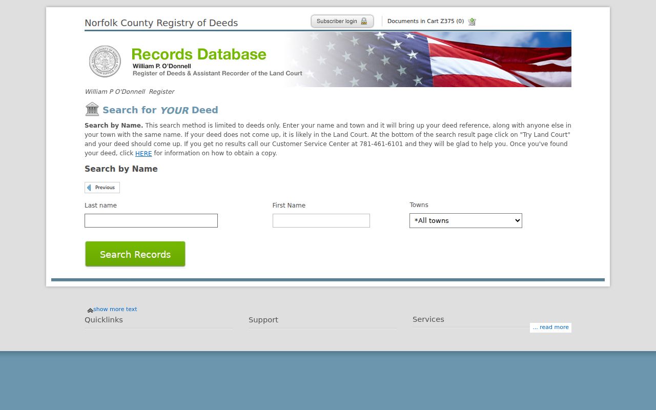
For a particular Weymouth parcel, read the newest available deed and write down its legal description and seller. Then search the seller as a prior grantee, confirm the book and page or document number, and repeat. If a recorded-land search ends, try Land Court, where the owner’s certificate of title and encumbrance list may supply the missing title trail. One parcel can involve both systems.
- Parcel
- A mapped piece of property used in assessment records.
- Situs address
- The physical location of the parcel on the ground.
- Mailing address
- The destination for tax notices, which can differ from the situs.
- Legal description
- The title description using a lot, plan, boundary, or other legal reference.
- Criss-cross directory
- A historical guide arranged from street and number to a dated occupant or business entry.
Note: Free Registry research permits index work and non-official prints, while clean scanned-image printing requires the Registry’s account route.
Weymouth Address Index Gap
The Registry’s address index is a useful modern shortcut, not a complete historic street directory. Address entries were added for applicable documents from 2003, while pre-2003 address entries are very limited. Recorded-land history itself reaches back to 1793, but the older material is principally a name, title-reference, legal-description, and plan search. A blank address result therefore does not establish that a Weymouth property had no earlier deed history.
Bridge the gap with the current MapGeo owner and parcel details, the newest deed, plan book and page, lot or boundary language, older owner names, village labels, directories, Sanborn maps, and newspaper notices. The Registry also has scanned index books from 1793 through 1955 and transcribed documents from 1793 through 1900. The latter project can make early documents easier to read, but the image and title reference remain the authority.
Note: No verified townwide Weymouth renumbering project was located, so do not assume an old number changed without confirming it in maps or records.
Weymouth Voter Street Records
The Massachusetts voter-status form requires first name, last name, date of birth, a five-digit residential ZIP, and an agreement acknowledgement. It is designed for an individual confirmation, not for browsing a street or block. For an existing local public record, write to the Weymouth Board of Registrars or Town Clerk. State guidance says local voter information can include name, residence address, party, date of birth, active or inactive status, voter ID, and some registration history, while phone, email, veteran status, permanent absentee status, minor records, confidential records, and ACP information are withheld.
Ask for a defined street or precinct, an as-of date, and paper or electronic format. A written request can also ask for a fee estimate and the redactions that will be applied. The state central registry is not a public name-and-address database under M.G.L. c. 51, § 47C. An individual status result does not replace a properly requested local file.
Weymouth Permit File Evidence
Building and inspection files can date an address without becoming a list of people. Weymouth’s Department of Municipal Licenses and Inspections describes permits for work such as additions, demolition, roofing, pools, decks, and new construction. A new-building or major-addition plot plan goes to DPW Engineering for utility-connection approval, and the Town Engineer issues the grade slip with the new building address number. That address-creation step can help explain when a number entered the municipal record trail.
No verified Weymouth permit search with public results was located. Ask Building Inspection for an existing file for the street number and date span, and ask whether it includes the permit number, application date, owner or applicant, contractor, work description, inspections, certificate of occupancy, and close-out. The Town’s building-permit information supplies the department’s current procedural context. For municipal files not handled through the department, use the Town’s public-record request route.
Note: Requesting an existing file is more precise than asking staff to create a new address history.
Weymouth Village Street Names
Weymouth uses village names that can change the results returned by a catalog, directory, map, or postal search. North Weymouth centers around Bicknell Square, Weymouth Landing around The Landing, East Weymouth around Jackson Square, and South Weymouth around Columbian Square. The four villages roughly track ZIP areas, but they are not separate municipalities and their postal labels are not legal boundaries. Search Town of Weymouth, Weymouth, and the relevant village label when an older record appears to be missing.
The 1927 Sanborn metadata adds Eastern Neck, Lovell’s Corner, Nash’s Corner, Weymouth Centre, and Weymouth Heights. These names can bridge a historic street reference to a modern map. A legal description and a Registry plan are often more durable than a street number when records use different village terms or when an old document has limited address indexing.
Weymouth Historical Street Guides
Selected historical directory volumes turn an old street into a dated household lead. State Library holdings include Weymouth directories from 1870–1871 through selected 1953 years, with selected house-guide runs in the later part of that span. A guide can begin with a street and number, then list an occupant or business; the alphabetical pages may add occupation, employer, spouse or widow notation, or a separate address. The printed abbreviation key must be read in the actual volume because symbols vary by publisher and year.
Tufts Library’s local-history resources add Gazette scans, town reports, yearbooks, maps, and finding aids. Compare the directory year with the nearest census year, deed, voter list, newspaper notice, or map instead of treating one entry as continuous proof. The Weymouth city directory collections explain the historical shelf in greater detail.
Weymouth Street Directory Limits
A public street search cannot show every person connected to an address. MapGeo does not provide a list of household members, utility customers, delivery recipients, or motor-vehicle addresses. A mapped parcel can contain multiple units, and a street point can be stale or incomplete. Recorded deeds show title interests. Historical directories show a past printed listing. Voter records carry exclusions for confidential and protected information. These limits are part of the record system, not gaps that should be worked around.
Correct a wrong official record through its custodian with the document reference and supporting evidence. A focused request can obtain an existing public file, but it cannot require the Town to assemble a new roster or disclose information that is confidential by law.