
Weymouth Resident History by Era
One Weymouth address needs different sources for different eras. The current parcel card starts the work. Norfolk land records carry the title history much further back, but the address index is strongest only from 2003. Earlier material is generally found through names, book and page references, plans, legal descriptions, village labels, and historical address sources. The table separates a title trail from a household trail so that an old deed is not mistaken for proof of who occupied a house.
| Source | Years It Covers | Where Held | What It Shows |
|---|---|---|---|
| Norfolk recorded-land documents and images | 1793 to present | Norfolk Registry online or counter | Deeds, plans, legal descriptions, grantors, grantees, and book or page references; address index strongest from 2003 |
| Norfolk scanned index books | 1793 to 1955 | Registry | Original index context, names, and title references |
| Registered Land Court | Index from 1973; records back to 1900 | Registry and Land Court search | Certificate of title and encumbrance trail |
| State Library Weymouth directories | 1870 to 1953, selected years | State Library and some digitized collections | Resident, business, street, and house-guide snapshots |
| Federal census | 1790 to 1950 public | NARA, FamilySearch, Ancestry, or library access | Household composition, age, relationships, and residence |
| Weymouth Gazette and town reports | Gazette 1867 to 1924 and 1926 to 1928; reports 1850 to 2017 | Library and Internet Archive | Notices, obituaries, civic links, public works, and named participants |
| Sanborn maps | 1899 and 1927 editions | Library of Congress | Building and street context, not household names |
For a recent change of title, start with MapGeo and the Registry. For a nineteenth- or early-twentieth-century household, pair the nearest directory with census, Gazette, report, map, cemetery, or probate evidence. Weymouth Building Inspection has public-file and request options, but no confirmed online database coverage for permit results. Ask for an existing address file and date range rather than expecting an online chronology.
MapGeo Records Start a Weymouth Address Trail
The Weymouth MapGeo property viewer supplies the present-day anchor. Locate the parcel by address or map, then note the situs address, parcel identifier, assessment owner, mailing address, printable record card or tax map, and the deed link. Situs means the mapped physical address. A mailing address is where a tax notice goes. It may belong to a trust, company, attorney, or owner elsewhere, so it is a title clue rather than proof of who was at the address.
Use the map to preserve the current parcel shape before moving into older documents. MapGeo also offers parcel geometry, tax maps, zoning and FEMA layers, voting links, and adjacent-parcel viewing. Those tools can help connect a modern address to a plan or an older block, but the card does not provide a full household list.
Start at the official Weymouth MapGeo property search before recording the parcel and title references.
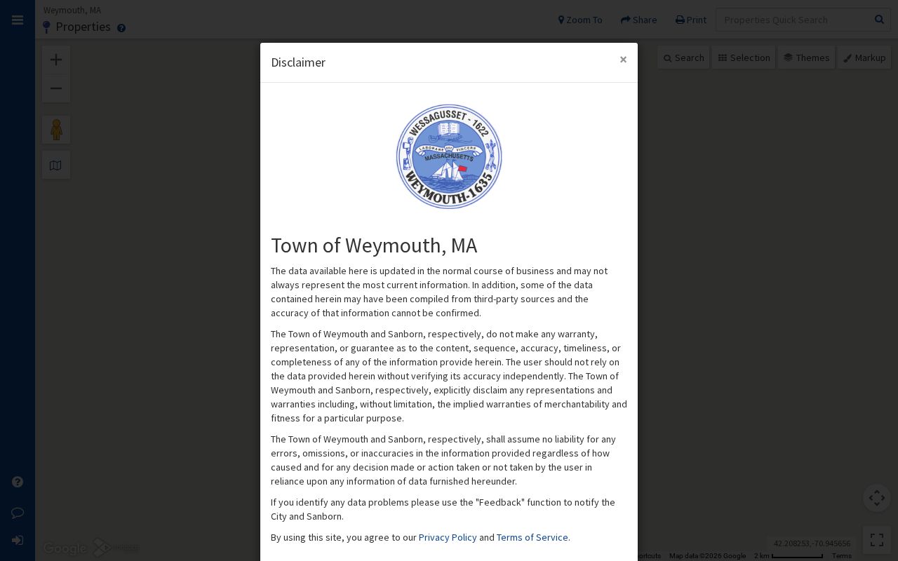
The property viewer shows why a parcel card is a starting point for address history: it joins a mapped situs with assessment and deed-reference clues, not a list of everyone who has lived there.
Weymouth Address Record Index Break
The key local quirk is the Registry’s address-index break. Norfolk says applicable address indexing begins in 2003 and earlier address entries are limited. Recorded land itself reaches to 1793, so an address search that stops before 2003 has not reached the end of the land trail. It has reached the point where name and title-reference searching matter more than a street field.
Bridge the gap with the current owner, the most recent deed, the seller’s name, the legal description, a lot or plan reference, an old village label, a MapGeo tax map, and a historical directory. Norfolk’s index mirrors the spelling on the original instrument. Try broad surname searches, spelling variants, a middle name or no middle initial, spouse names, trust names, and company names. If recorded-land results end, test the separate Land Court system.
Note: An older mismatch may reflect the Registry’s documented address-index limit, not a verified Weymouth street-renumbering event.
Tracing Deeds for Weymouth Previous Residents
The Norfolk County deed chain follows title backward. First use MapGeo to identify the current owner and a title reference. Then search the owner’s purchase document in the Registry. The seller on that document is the earlier title holder. Search that seller as a grantee in a prior transfer, confirm the book and page or document number, and repeat. A grantor is the person or entity transferring an interest. A grantee receives it.
- Record the current MapGeo owner, parcel identifier, situs, deed link, and legal-description clues.
- Use Norfolk Search for Your Deed or the Registry’s fuller search to find the recent Weymouth deed by name or title reference.
- Read the transfer for the seller, date, book and page or document number, legal description, lot or plan references, and any prior-title citation.
- Search the seller as an earlier grantee, then repeat the same title check backward through the chain.
- Broaden the name search and test Land Court when the recorded-land index returns no further match.
- Chain of title
- The dated sequence of land transfers and title references for the same parcel or legal description.
- Legal description
- The lot, plan, boundary, or other wording that identifies land in a title document. It can outlast a changed street number.
- Book and page
- The Registry reference used to retrieve an earlier recorded image or link one deed to another.
Registry research is free in its free-access mode, including research and printing marked “Not an Official Copy.” A subscriber account is required for a clean official scanned-image print, and Registry materials describe a prepaid account with a one-dollar printed-page charge. A title trail can include deeds, mortgages, discharges, releases, liens, plans, attachments, and easements. Each document has a different purpose, so do not treat every named party as a prior owner.
Weymouth Land Records and Court Titles
Norfolk’s recorded land and registered land are separate systems. The Registry’s online Land Court index currently begins in 1973, while Land Court records reach back to 1900. When the Registry search reports no more matching names, choose the Land Court route. Search the owner, locate the certificate of title, and follow the listed encumbrances. One parcel can involve both recorded and registered land.
The Norfolk Registry’s research instructions also point to plans and other land records that can resolve a title description. A plan book and page, plan number, surveyor, street name, or owner name may be more useful than a modern address. County engineering records can also be searched by street, party, signer, town or county, and date filters, providing context for an old road or plan reference.
Consult the official Registry research page for recorded-land and Land Court access choices.
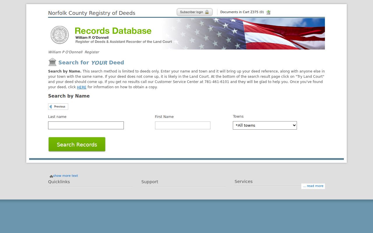
The deed search interface is a name-and-title-reference tool. It is most useful after the Weymouth parcel card has supplied a current owner or deed clue.
Directory Years for Weymouth Past Residents
A deed chain identifies changes in title. It does not by itself name each past household. For the household layer, use Weymouth’s selected State Library directory run, listed from 1870 to 1953, and its selected voting lists from 1896 to 1980. The voting lists are not directories and retain their own access rules. Search the directory’s alphabetical section and, where available, the street or house guide. Pair the closest dated listing with the public federal census through 1950.
The historical volumes themselves are described in more detail on the Weymouth city directory page. Here, the task is narrower: place the address in a timeline. A name in a street guide is a dated address clue. A census can test household composition. A Gazette item may narrow a move. None of those sources should be read as a current-location claim.
- Choose the directory volume nearest to the estimated year and copy the printed street, number, surname, initials, and any spouse or widow notation.
- Compare the earlier and later available volumes, using the street guide when present and noting any change in village label or number.
- Match that span to the appropriate federal census through 1950 and record the enumeration place and household details.
- Test a move or death date with the Gazette, obituary, cemetery material, probate docket, or deed transfer.
Tufts Records for Weymouth House History
There is no verified standalone Weymouth “research your house” guide. The practical library route is the Local History Collection, its finding aids, the Reference Desk, town reports, directories, newspapers, maps, and the Historical Society’s genealogy and cemetery resources. Bring the present address, parcel identifier, known owner name, possible street variants, and the target date range. This lets staff point to an existing collection or original rather than reconstructing a record set from scratch.
Tufts Library originals need an appointment, a Researcher Application, and valid identification. Reference assistance is available at 781-340-5002. Its digital collection includes town reports from 1850 to 2017, Weymouth High School yearbooks from 1914 to 2013, and Gazette material from 1867 to 1924 and 1926 to 1928. The Historical Society at Holbrook Homestead adds cemetery, family, and town-history material and is open Wednesdays from 9 a.m. to 1 p.m. and by appointment.
Use the Weymouth Historic and Digital Collection to identify the reports, yearbooks, Gazette issues, and finding aids that can support a previous-address search.
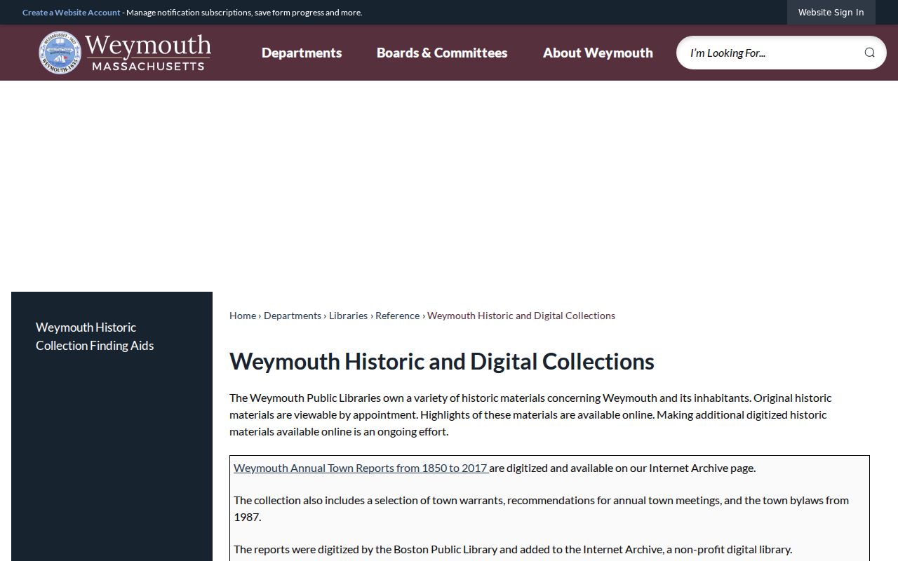
The collection gives a practical route from an address or surname to dated local material when the deed chain alone cannot identify a past household.
Weymouth Previous Residents on Sanborn
The Library of Congress has a 20-sheet 1899 Weymouth Sanborn edition and a 39-sheet 1927 edition. These maps show building footprint, use, materials, street and block context. They do not list occupants. Compare the map closest to the research period with the directory street form, legal description, and plan references. This is especially useful when the same place is described with a village name rather than a modern mailing label.
The 1927 map metadata names Eastern Neck, East Weymouth, Lovell’s Corner, Nash’s Corner, North Weymouth, South Weymouth, Weymouth Centre, and Weymouth Heights. Search those names as well as the present address. Plans, maps, directories, and newspaper notices are the documented bridge when an earlier deed does not carry the modern street number.
Note: Sanborn sheets explain the physical address context; they do not establish which people lived at a property.
Weymouth Past Residents: Final Evidence
Obituaries, cemetery records, and probate files can close a historical address trail. An obituary may name relatives, a funeral home, cemetery, or former address. Probate petitions, wills, inventories, and fiduciary filings can identify heirs and a last known address, subject to court-access rules. For Weymouth research, Norfolk Probate and Family Court in Canton is the relevant county probate venue. Historical Society cemetery pages add plot maps, grave codes, veteran identifications, and local town-vital context.
The Town lists 15 cemeteries, including eight under the Cemetery Commission, and identifies Old North Burial Ground as Weymouth’s first cemetery. Individual coverage varies, and no unified municipal name-search portal was located. Link cemetery information to a dated obituary, probate item, death record, or directory entry before connecting it to a particular family or address.
Lawful personal research. Use historical Weymouth address records for family history, estate questions, preservation, or personal curiosity. Respect protected records and do not use a past address to harass, stalk, or harm anyone.