
Weymouth Neighbors Block Sources
Different records answer different questions about a Weymouth block. MapGeo shows parcel relationships and assessment information. Registry plans and deeds explain lot boundaries, easements, and title references. Local voter material has a separate access route through the Town Clerk, with required protections. Community associations offer public contact channels, not member rosters. Read those layers separately before drawing conclusions about your neighbors.
| Source | What It Shows About a Block | Access |
|---|---|---|
| MapGeo parcel map | Nearby polygons, situs, owner, tax-map relationships, layers | Public map with click, pan, and radius tools |
| Assessor card | Owner of record, mailing clue, value, exemption, parcel data | Public individual card |
| Registry plans and deeds | Lot boundaries, easements, prior owners, legal description | Free index; images through account or office |
| Weymouth voter material | Existing public voter fields at street or precinct level | Town Clerk request with withheld fields |
| Neighborhood associations | Area contacts and public meeting or news channels | Town inventory; no roster located |
| Library sources | Past occupants, notices, obituaries, and civic context | Selected digital, shelf, and library access |
An assessor owner and mailing address are not a live occupancy record. A parcel may belong to an estate, trust, organization, or owner who receives tax notices elsewhere. The map has parcels, not people.
Mapping Weymouth Neighbors by Parcel
The Weymouth MapGeo property viewer supports the practical first step: find the subject address, zoom until parcel polygons and street labels are clear, then inspect the parcels that touch or sit nearby. The inspected MapGeo URL includes a 100-foot abutter-distance parameter. Use it as a nearby-parcel view, then visually confirm the geometry. A road, water, common land, a condominium, an unbuilt lot, or a public parcel can sit between two homes.
Open each relevant parcel card and note only its public parcel ID, situs, owner of record, mailing clue, tax-map material, and deed link. Pan and zoom reveal adjacent cards, while the layers can add zoning, flood, recreation, community, voting, and deed context. The method is most accurate when it stops at the property relationship and follows a plan or legal description for a shared-boundary question.
The Weymouth MapGeo property-search screen is the starting view for a neighbors parcel check.
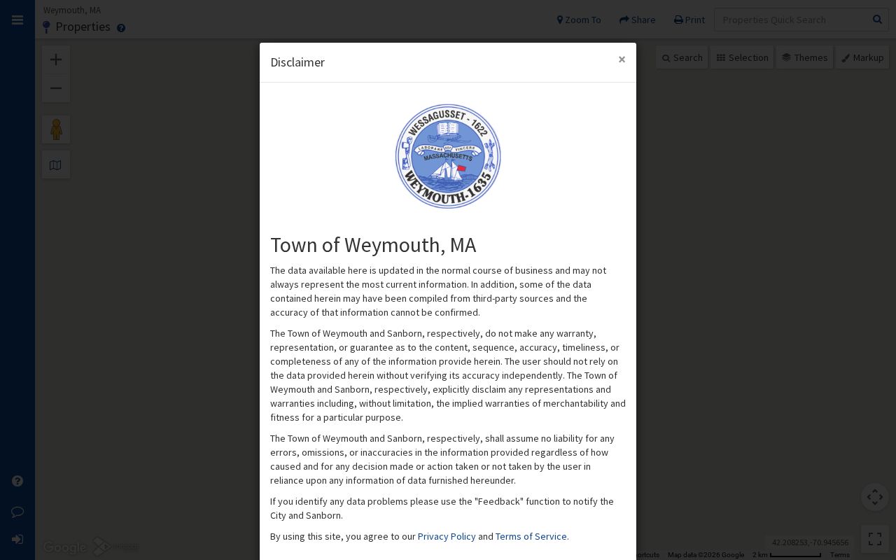
The property interface connects a single address to a parcel card and surrounding map context without presenting a household roster.
Weymouth Parcel Record Flow
Use a short, documented chain for one block. It keeps an address search tied to public record systems and makes it clear where a fact came from.
- Locate one confirmed Weymouth address in MapGeo and select the subject parcel.
- Pan or use the nearby-parcel view, then click touching or close polygons one at a time.
- Record the public situs, parcel ID, owner of record, mailing clue, and title or plan reference for each relevant parcel.
- Open the Norfolk Registry search for the owner name or legal reference when a deed, easement, or lot boundary needs confirmation.
- Use plans, not visual proximity alone, where roads, water, common land, or condominium geometry makes adjacency unclear.
For the complete record chain along a named road, rather than the immediate block, use the Weymouth streets page. The neighbor method remains narrow: address to parcel, parcel to adjacent parcels, and adjacent parcels to their official title material.
The inspected MapGeo nearby-parcel view demonstrates the 100-foot abutter-distance parameter.
Nearby parcel polygons require interpretation, because an adjacent map shape does not necessarily represent a neighboring household.
Weymouth Deed Record Boundaries
Parcel cards lead to title research, but they do not replace it. The Norfolk County Registry of Deeds has recorded-land indexes and images from 1793 forward, with address indexing strongest for applicable documents from 2003. For an older lot, begin with the assessment owner's title reference, then search grantor and grantee names, plans, and legal descriptions. Recorded land and registered Land Court material are separate searches. The online Land Court index begins in 1973.
A plan can clarify a lot line, an easement, or subdivision relationship that a map view simplifies. The Registry's free research mode permits index work and “Not an Official Copy” printing. Clean official scanned-image printing requires an account, with Registry materials stating a $100 annual prepaid account and $1 per printed page. When the portal cannot answer a boundary question, the Registry counter and its records staff are the appropriate follow-up.
Note: The deed trail identifies documented title and boundaries, not the present people who may use or visit a Weymouth parcel.
Weymouth Voter Records by Block
The state voter-status checker is not a block directory. It requires an individual's first and last name, full date of birth, residential ZIP, and agreement. For an existing lawful block-level record, ask the Weymouth Board of Registrars or Town Clerk for public voter-list data and specify the street, precinct, as-of date, and desired paper or electronic format. That request route is distinct from trying to run many names through an individual status form.
The Secretary's public-field guidance can include name, address, party, date of birth, active or inactive status, voter ID, and some registration or participation history. Phone, email, veteran status, permanent absentee status, minor records, confidential voters, and Address Confidentiality Program data are withheld. Participation history can show that an election was voted in; it does not disclose a vote or ballot choice.
Weymouth holds the local records at Town Hall. A written request is more useful than a phone call when a record, format, fee estimate, or redaction issue needs to be documented under the Massachusetts Public Records Law.
Weymouth Block Civic Contacts
The Town's civic and neighborhood association inventory provides public channels for several areas. These contacts can help a resident find notices, meetings, or association communications. The inventory does not supply a member roster, and no public member directory was located. Use the listed contacts for their stated civic purpose rather than trying to infer who belongs to an association.
| Association | Official inventory contact | Public channel |
|---|---|---|
| East Weymouth Neighborhood Association | PO Box 890157, East Weymouth 02189; 781-249-2178 | ewnanews@gmail.com and Facebook |
| Homestead Landing Civic Association | PO Box 449, Weymouth 02188; 781-337-7673 | hlca@comcast.net |
| Idlewell Education & Improvement Association | PO Box 211, Weymouth 02188 | Idlewellneighborhood@gmail.com and Facebook |
| North Weymouth Civic Association | PO Box 93, North Weymouth 02191; 781-335-1145 | northweymouth.org, northweymouthca@gmail.com, hotline 617-504-2924 |
Other community names appear in Town planning and open-space materials, including pond, watershed, yacht, service, and civic groups. Those mentions are community context, not evidence of current membership. Public agendas, newsletters, event notices, and library boards are the better channels for openly shared information.
Weymouth Block Source Comparison
Official parcel, Registry, and Clerk records have a known custodian and defined limits. Commercial neighbor tools compile assessor, directory, marketing, voter, and other data. Their value is limited by timing, source errors, and same-name merges. An official parcel card should be the verification point for an ownership clue, and a Clerk response should be the verification point for an available voter record.
| Official record route | Commercial compilation category |
|---|---|
| Shows its public custodian, record type, and date context. | May combine data from different dates and sources. |
| Parcel material distinguishes owner, situs, mailing, and title clues. | Can blur owner, former resident, and same-name person. |
| Protected and confidential fields remain withheld. | Does not make restricted information lawful to reconstruct or use. |
Weymouth Block History Sources
Past block research belongs in dated sources. Weymouth Public Libraries hold annual reports from 1850 through 2017, yearbooks from 1914 through 2013, and Gazette material for 1867 through 1924 and 1926 through 1928. The State Library's selected city directories and voting lists, plus 1899 and 1927 Sanborn maps, can connect an old address with a household, business, street guide, or village label for a particular period.
Maps explain buildings and street context, not residents. Directories and newspapers need date and spelling checks. A historic address may also appear under North Weymouth, East Weymouth, South Weymouth, Weymouth Landing, Weymouth Centre, or another local name. This historical layer is valuable for a family or place-history question, but it must not be used to claim a current neighbor relationship.
Weymouth Neighbor Privacy Limits
Public parcels do not create a public household inventory. Non-owner occupants and other household members are not guaranteed on an owner record. Utility and delivery data are not public, and RMV address data is protected under the federal Driver's Privacy Protection Act. Confidential voters and Address Confidentiality Program participants require protection. A parked vehicle, map pin, old directory, or tax mailing address cannot prove that someone currently lives at a property.
If a record is wrong, contact the custodian with the record identifier and supporting documents. Do not try to reverse-engineer a protected address from substitute records or copied data. Immediate danger calls for emergency services, while a pattern of stalking, harassment, or threats has separate Massachusetts criminal and civil remedies.